Evidence for the existence of Roger Parke
From Page 674 O’HART’s Irish Pedigrees, vol. 1 Publshd 1892, Dublin
Our curiosity being thus aroused on the subject, on the occasion of our visit to the locality in August, 1886, we wrote to Mr. Roger PARKE, J.P., of Dunally, Sligo, the present courteous and respected owner of Newtown Castle, requesting some information respecting that stone, etc. Mr. PARKE replied, as follows :
“Dunally, Sligo,
15th November, 1886.
………… I found in the Quit Rent Office in Dublin, that in 1636 Roger PARKE (from whom l am descended) owned half the castle of Dunally.”
There is also abundant evidence in The Down Survey Maps
http://downsurvey.tcd.ie/index.html
Upon its completion in 1658 the Down Survey, along with the Strafford Survey from the 1630s, were housed in the Surveyor General’s Office in Dublin. According to William Petty, there were 2,278 parishes in Ireland. From this number, the number of parishes with no forfeitures must be deducted, as these were not surveyed or mapped. The number of maps was further reduced by the practice of drawing more than one parish on each sheet if it were practical to do so. By abstracting these unforfeited parishes from the Books of Survey and Distribution, and combining those smaller contiguous parishes that may reasonably have been combined on the Down Survey maps, the number of parish maps is 1,400. Out of these, 250 are Strafford maps leaving a potential total of 1,150 original Down Survey parish maps.
The Down Survey used the Civil Survey (so called because it was ordered by the Civil Authority. It was taken from 1654-6 in order to value the lands in Leinster, Munster, Ulster and Connaught assigned to satisfy the claims of soldiers for their arrears of pay during the Civil War, and of those Adventurers who made cash available in the 1640’s to pay for the war and were promised land in Ireland in return) as a guide and the latter was based on original Landholder records (from an earlier period), which were surveyed and measured. Lands were valued as at 23rd October 1641.


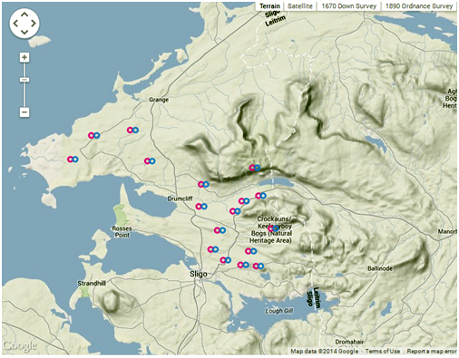
Townlands belonging to Roger Parke according to the Down Survey 1641


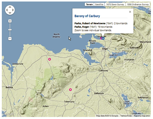
Townlands belonging to Captain Robert Parke according to the Down Survey 1641
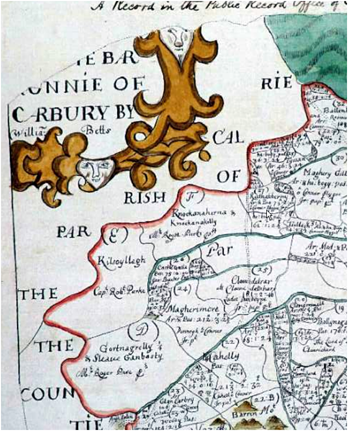
An example of the maps drawn for the Down Survey is that for the Parish of Drumcliffe, which shows lands owned by Captain Robert Parke and by Mr Roger Parke:

This clearly shows land belonging to both Roger Parke and Captain Robert Parke